

Culture

Culture
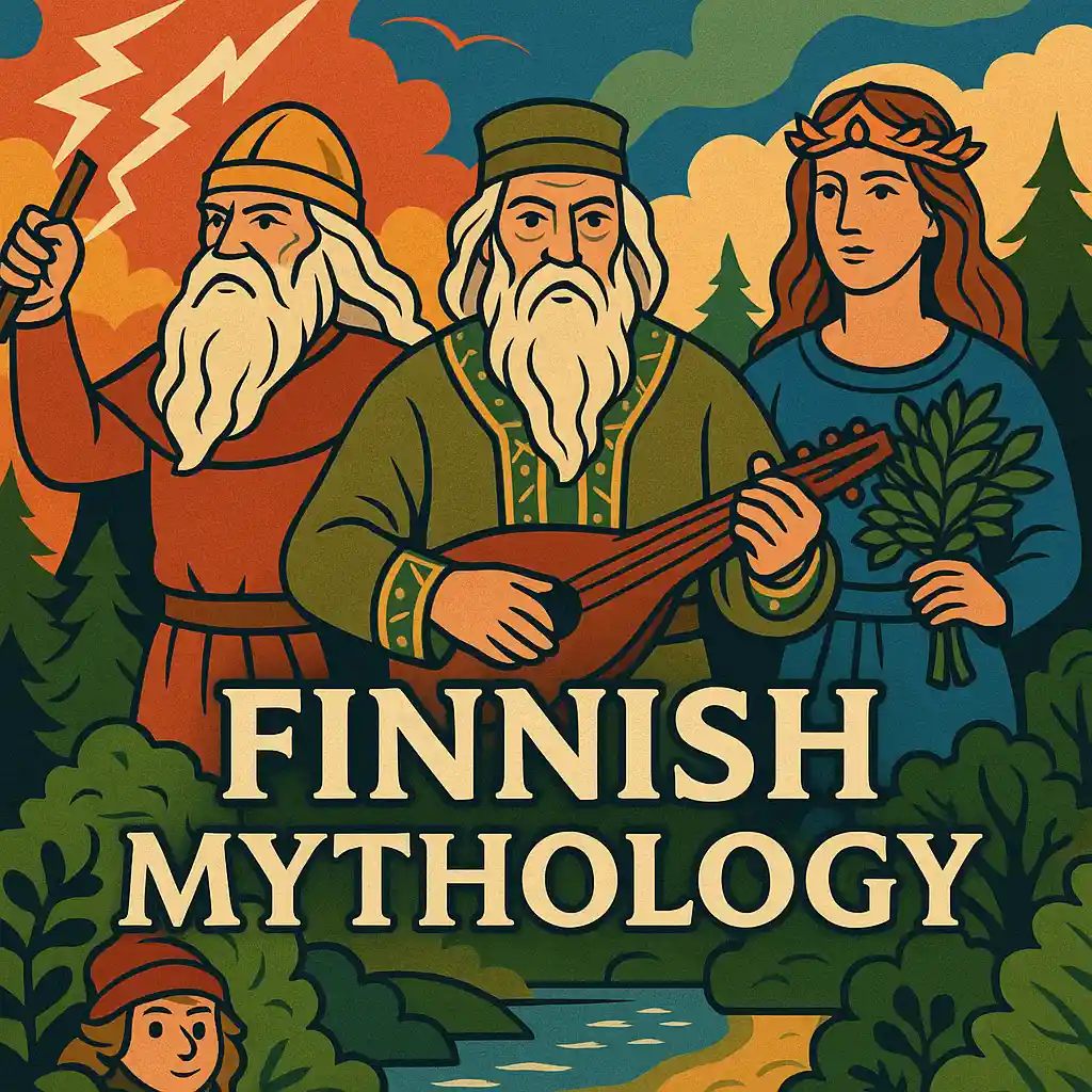
Finnish Mythology: Tales from the Northern Gods and Spirits
Finland’s deep forests, crystal-clear lakes, and endless winter nights have given rise to one of Europe’s most haunting…
39 άρθρα
Περισσότερα
Book Reviews

Book Reviews
25 Best Bernard Cornwell Books: Sharpe, Uhtred & Arthur
Bernard Cornwell is an English historical novelist; the Best Bernard Cornwell Books appear where battlefield history meets lived human motives. He was born in London in 1944 and…


127 άρθρα
Περισσότερα
Tributes

Tributes
Michael Faraday Biography: From Bookbinder to Electric Icon
For many Victorians, it was Michael Faraday biography that proved science could belong to anyone. A blacksmith’s son who left…


4 άρθρα
Περισσότερα
Adaptive Education

Adaptive Education
🧠 What Is the Most Effective Treatment for Tourette Syndrome?
Understanding the most effective treatment for Tourette syndrome is essential for patients,…

Adaptive Education
Why Some Children Learn New Words More Slowly
Why some children learn new words more slowly is a question that…

Adaptive Education
🍼 Breastfeeding and Autism Risk: Could Nursing Lower the Chances of Autism?
The early years of life are critical for brain development, and new…
118 άρθρα
Περισσότερα
Τεχνολογία & Επιστήμη
Science
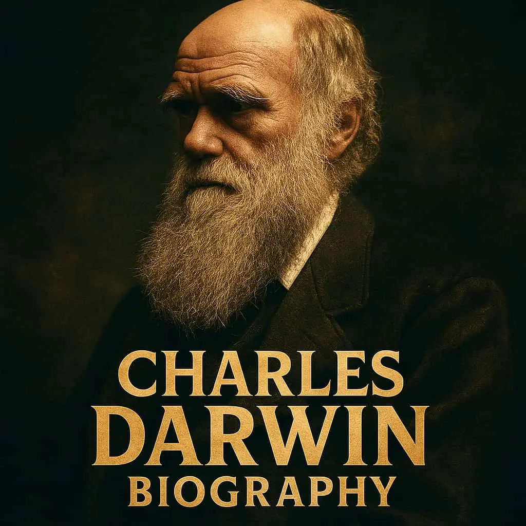
Charles Darwin Biography: Life, Ideas and Legacy
On a chilly morning in rural Kent, an ageing gentleman in a crumpled hat walked slow circles along a gravel path he called his “Sandwalk”. From…
40 άρθρα
Περισσότερα
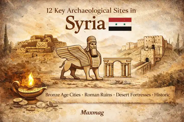
Archaeology
Archaeology
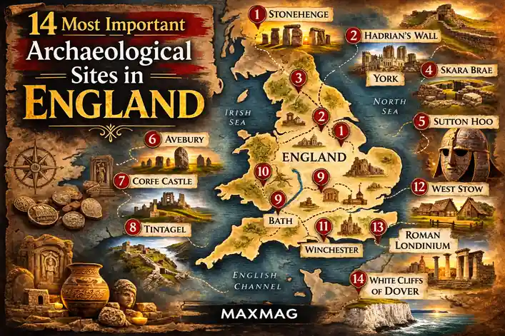
14 Most Important Archaeological Sites in England
England’s landscape is often read through castles, cathedrals, and royal cities, yet its deeper story lies in soil layers that…

1 άρθρα
Περισσότερα
Visual Arts

Visual Arts
The Haunting Beauty of Alfred Kubin: A Deep Dive into His Drawings
Few artists have so effectively captured the eerie, the subconscious, and the…
4 άρθρα
Περισσότερα
Space & Astronomy
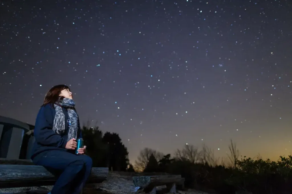
Space & Astronomy
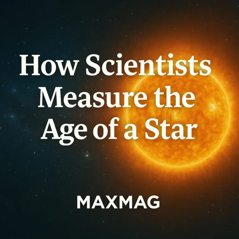
How Old Are Stars? – How Scientists Measure a Star’s Age
When we gaze up at the night sky, it’s natural to wonder not just what…

Space & Astronomy
Buzz Aldrin Biography: The Man Behind the Second Step
When Neil Armstrong took his historic first step onto the Moon in July 1969, Buzz…
249 άρθρα
Περισσότερα
Movies

Movies
30 BAFTA Winning Movies: Award-Winning Dramas, Thrillers, Epics, and Romances
BAFTA Winning Movies often announce themselves through craft you can feel in your bones. Think of the moral thunder of Oppenheimer, the intimate memory-work of Roma,…


Hidden Greece
Περισσότερα
Hidden Greece
Κρυφές διαδρομές, χωριά και ελληνικά μέρη έξω από τους συνηθισμένους χάρτες.
 Greek hidden places
Unique Greek Christmas Traditions You Didn’t Know
Christmas in Greece is a magical season filled with vibrant customs and heartfelt celebrations that go far beyond the common…
Greek hidden places
Unique Greek Christmas Traditions You Didn’t Know
Christmas in Greece is a magical season filled with vibrant customs and heartfelt celebrations that go far beyond the common…
02
Kalavryta: A Village Marked by the Tragedy of History
Hidden Greece
 03
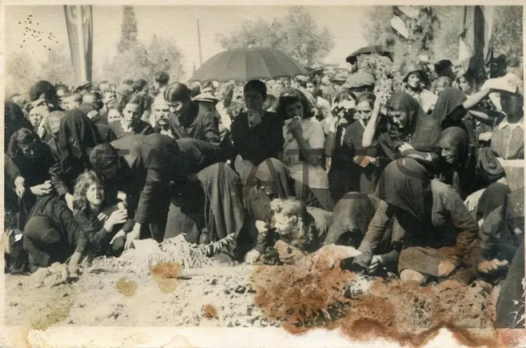
Chortiatis Massacre History: The Thessaloniki Village Marked by WWII Tragedy
Hidden Greece
03
Chortiatis Massacre History: The Thessaloniki Village Marked by WWII Tragedy
Hidden Greece
 04
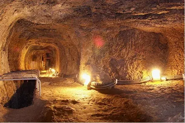
🏛️ Ancient Greek Engineering Marvel: The Tunnel of Eupalinos in Samos
Hidden Greece
04
🏛️ Ancient Greek Engineering Marvel: The Tunnel of Eupalinos in Samos
Hidden Greece
 05
Greece by Train: A Railway Adventure Beyond the Ordinary
Hidden Greece
05
Greece by Train: A Railway Adventure Beyond the Ordinary
Hidden Greece

03
Chortiatis Massacre History: The Thessaloniki Village Marked by WWII Tragedy
Hidden Greece
04
🏛️ Ancient Greek Engineering Marvel: The Tunnel of Eupalinos in Samos
Hidden Greece
05
Greece by Train: A Railway Adventure Beyond the Ordinary
Hidden Greece